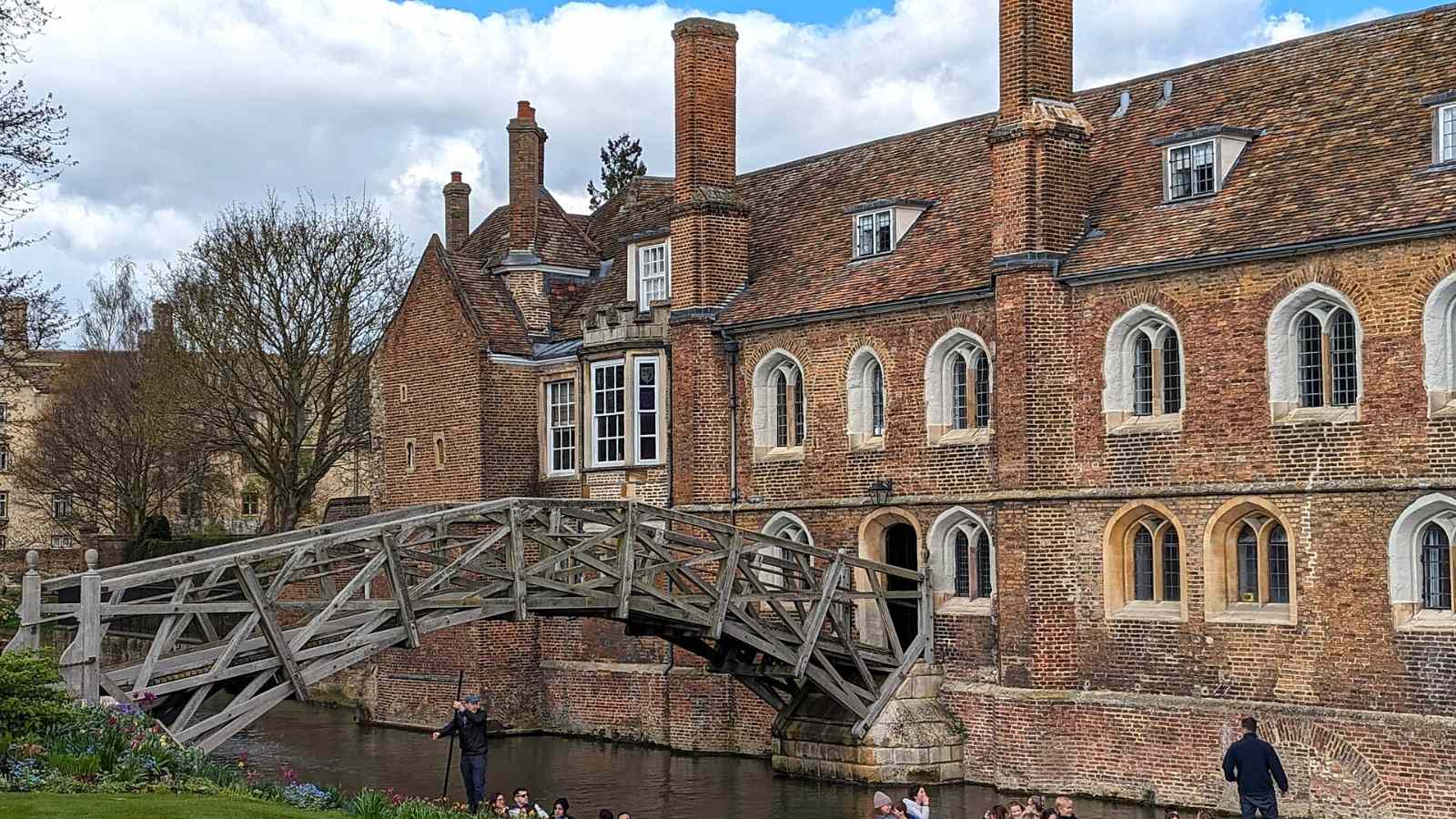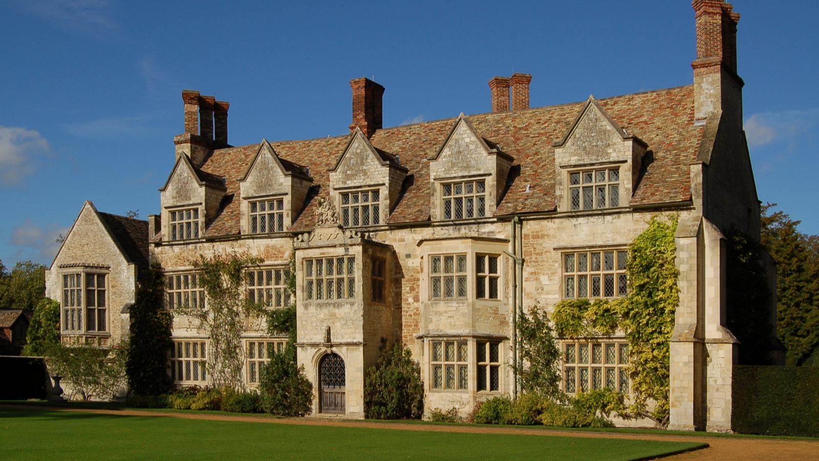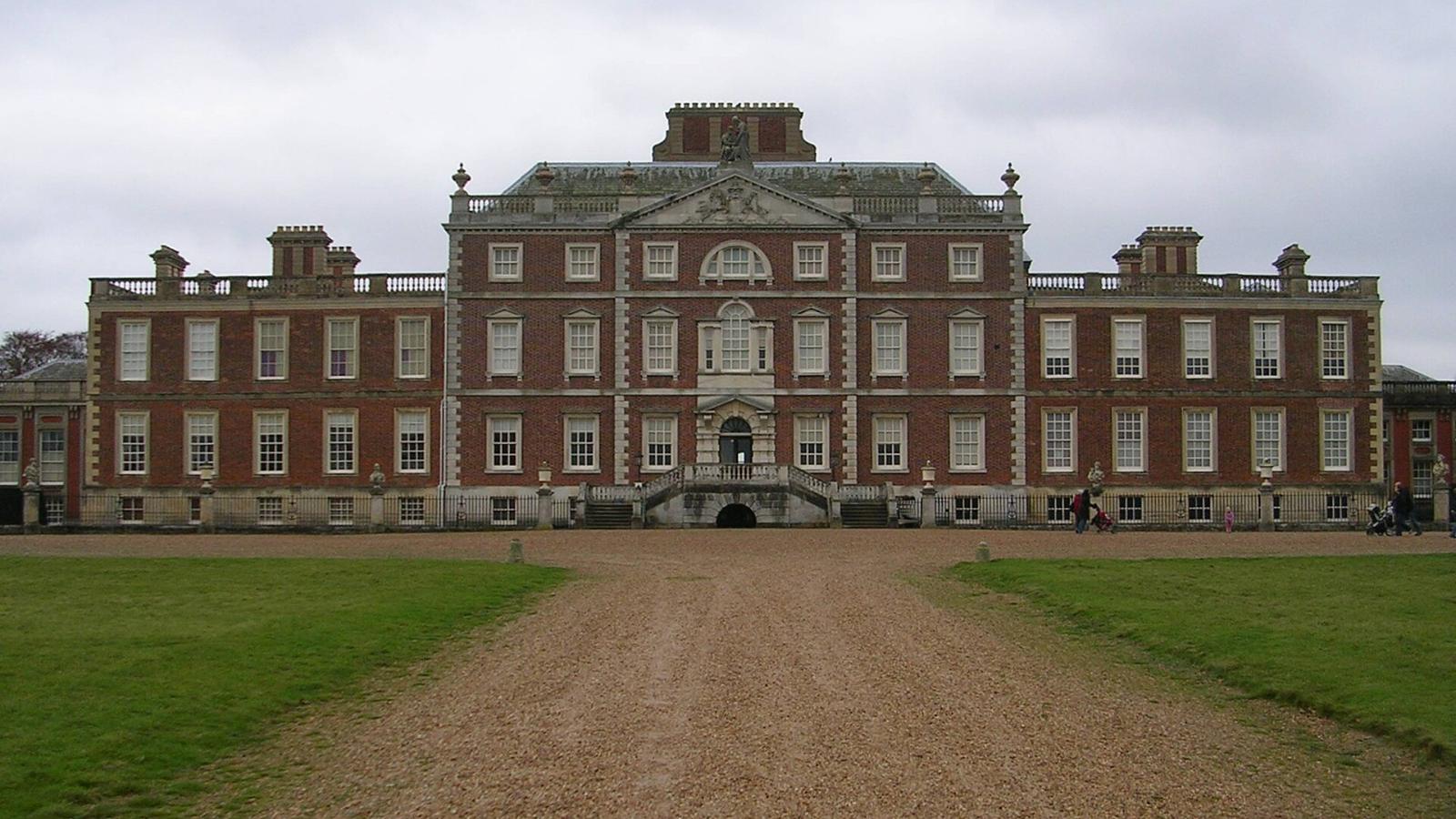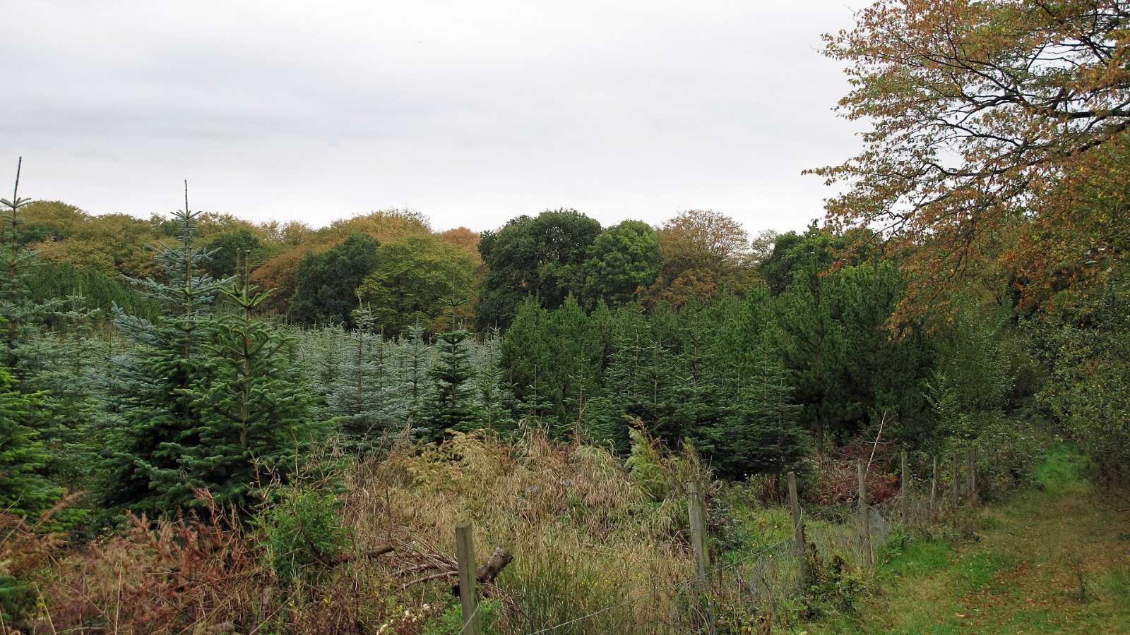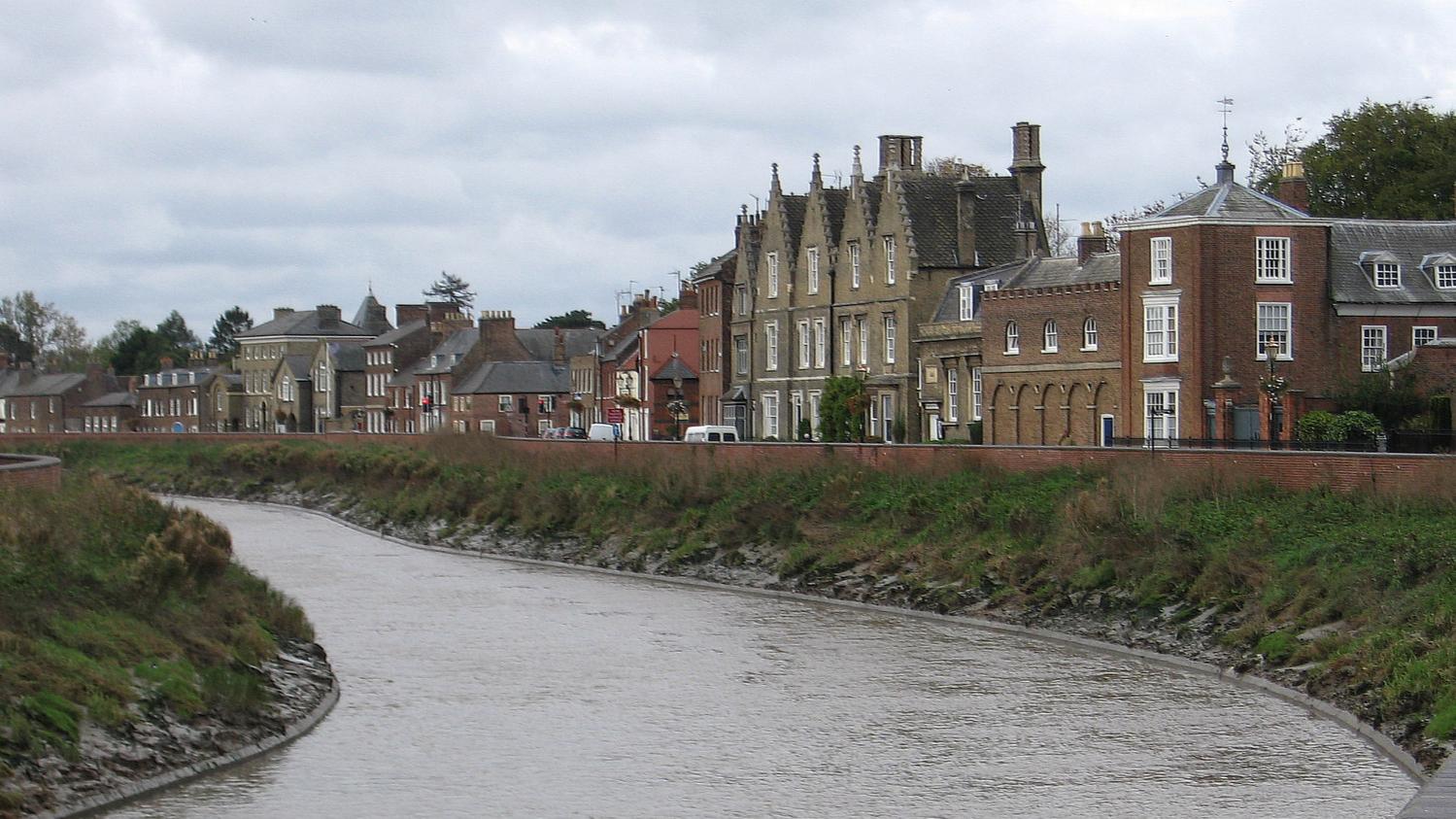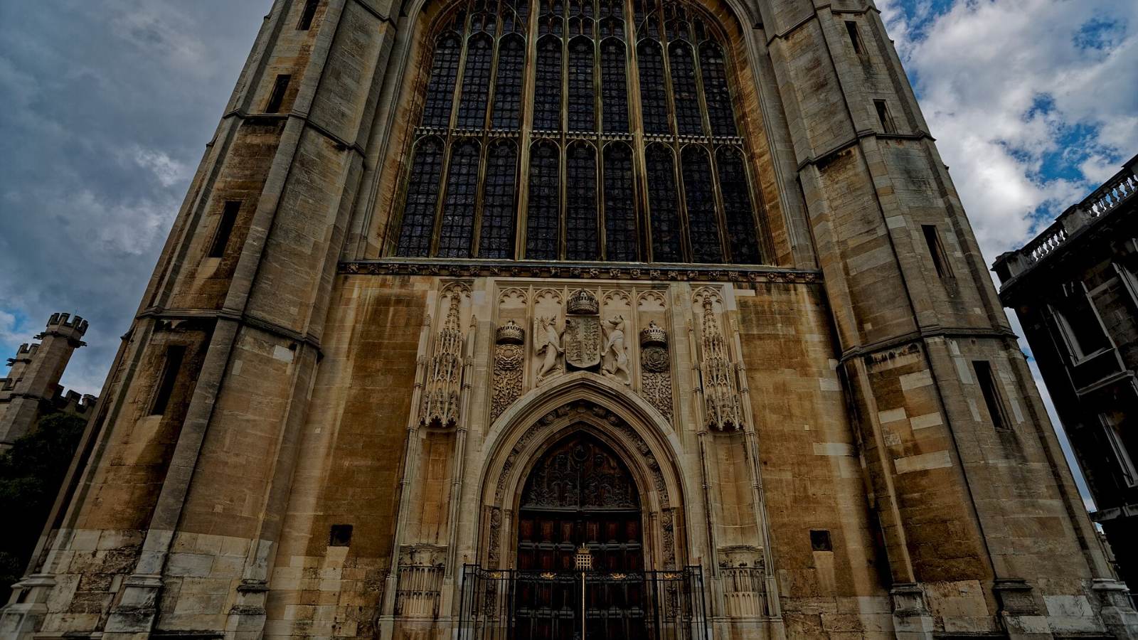



Cambridgeshire is three or four different places sharing a county name. A terrace off Mill Road, a new-build in Northstowe, a Georgian house in Wisbech and a 1980s semi in Orton all sit in the same county, but the commute, the schools, the council and the landscape are not the same. People moving here for work in Cambridge often only look at the city and its ring of villages, and miss towns an hour up the line that suit them better.
This guide covers seventeen places to live, split between Cambridge and South Cambridgeshire, Huntingdonshire and the Great Ouse, and Ely, the Fens and Peterborough. For each one we cover character, transport, where to check schools, everyday amenities and the kind of housing you will find. We do not quote house prices or give financial advice. Use the HM Land Registry and ONS house price data, a local agent and your own adviser for that.
Details were accurate at the time of research in November 2026. Transport schemes, school arrangements and council structures are changing, so please check the official sources linked in each entry before you make any decisions.
Cambridge and South Cambridgeshire
The city and its southern and northern fringes are where most of the county’s jobs are, and where most of the building is happening. Cambridge City Council runs the city itself, South Cambridgeshire District Council covers the villages and new towns around it, and Cambridgeshire County Council handles schools, roads and libraries for both.
Mill Road and Romsey, Cambridge
Indoor and outdoor
- Mill Road runs south east from near Parker’s Piece, crosses the main railway line on Mill Road bridge and joins the city ring road
- The bridge is the dividing line between Petersfield on the city side and Romsey to the east
- Much of Romsey was built in the ten years after 1885, largely for railway workers, and the area was once known as “Red Romsey” for its working-class politics
- The housing is mostly tightly packed terraced streets, including the preserved Arts and Crafts interior of David Parr House
- The road is lined with independent businesses and places of worship, including the Cambridge Central Mosque, with Mill Road Cemetery on the Petersfield side
- Mill Road bridge has been a bus gate since December 2024, and the county council began fining non-exempt drivers in March 2025; Blue Badge holders and some others can apply online for an exemption
- The Mill Road Winter Fair, running since 2005, is traditionally held on the first Saturday in December and closes part of the road, including the bridge, to traffic
- City schools have catchment areas, so check the county council’s catchment pages and each school’s Ofsted reports before you choose a street
Local council: Cambridge City Council, with Cambridgeshire County Council for schools, roads and libraries
Council tax: cambridge.gov.uk/council-tax-bands-and-charges
Schools: cambridgeshire.gov.uk (apply for a school place) and reports.ofsted.gov.uk
Nearest station: Cambridge
Mill Road is where Cambridge feels least like a university town and most like a city. The road itself is a long run of small shops, cafés and places of worship, and the side streets are full of terraced houses that were built for the railway and now house a mix of families, students and academics. The bus gate on the bridge has changed how traffic moves through the area, so if you drive, look at your daily route before you commit. The Winter Fair is the best introduction to the neighbourhood, so check the organiser’s website for this year’s date and go.
Chesterton, Cambridge
Indoor and outdoor
- Chesterton sits on the north bank of the River Cam in the CB4 postcode, with riverside paths and easy walking to Midsummer Common and Jesus Green
- The older streets are Victorian and Edwardian terraces and period semis, many of them extended
- Cambridge North station serves the area, with trains into the city centre and onward across the national network
- Over 400 new homes are planned next to Cambridge North station on former railway sidings, led by Network Rail’s joint venture blocwork with Brookgate, with outline permission for 425 homes
- The Chisholm Trail walking and cycling route links the area to the city’s east side and the main station
- Chesterton Road and the high street have independent shops, cafés and local pubs, with bigger shopping in the city centre
- The Guided Busway northern section runs to Cambridge North, but a stretch of the northern track is closed until mid January 2027, with buses diverted
- Check secondary catchments carefully, as demand for places affects which streets families look at; use Ofsted reports rather than agents’ claims
Local council: Cambridge City Council, with Cambridgeshire County Council for schools, roads and libraries
Council tax: cambridge.gov.uk/council-tax-bands-and-charges
Schools: cambridgeshire.gov.uk (apply for a school place) and reports.ofsted.gov.uk
Nearest station: Cambridge North
Chesterton is the north Cambridge choice for people who want an older house, a short cycle into town and the river on the doorstep. The riverside paths double as commuting routes for cyclists heading into town. Cambridge North station gives the area its own link to the national rail network without crossing the city. The new quarter planned by the station will bring hundreds of flats and a green space over the next few years, so expect building work nearby.
Trumpington and Great Kneighton, Cambridge
Indoor and outdoor
- Great Kneighton is a large new neighbourhood on the southern edge of the city next to Trumpington village, built by Countryside Properties on the Clay Farm and Glebe Farm sites
- Clay Farm is planned for around 2,300 homes and the smaller Glebe Farm site has around 280, mainly apartments, with 40 per cent affordable housing across both
- Hobson’s Park is a 120 acre country park with wetlands, woodland and a bird reserve on the neighbourhood’s edge
- Trumpington Community College opened in 2015, and Trumpington Park Primary School is also within Clay Farm
- Cambridge South station opened to passengers on 28 June 2026, serving the Biomedical Campus and Addenbrooke’s, with up to 9 trains an hour to central Cambridge and direct services to London, Stansted Airport and Birmingham
- Greater Anglia, Great Northern, Thameslink and CrossCountry all call at Cambridge South
- The southern Guided Busway between Clay Farm and Trumpington closed for urgent repairs in October 2026, affecting both the busway and the path beside it
- Trumpington Park and Ride is on the edge of the area for car drivers heading into the city
Local council: Cambridge City Council, with Cambridgeshire County Council for schools, roads and libraries
Council tax: cambridge.gov.uk/council-tax-bands-and-charges
Schools: cambridgeshire.gov.uk (apply for a school place) and reports.ofsted.gov.uk
Nearest station: Cambridge South
Great Kneighton is the obvious pick for anyone working at Addenbrooke’s or the Biomedical Campus, and the new station has made it more useful still for London commuters. The housing is almost all new, a mix of apartments and houses arranged around Hobson’s Square and the park. Hobson’s Brook, dug in 1614 to bring clean water into Cambridge, runs along the edge, which gives the place a sense of history it would otherwise lack. Trumpington’s old village and parish church sit just to the west. The busway repairs are a live problem for cyclists this winter, so check the county council’s busway updates.
Eddington, North West Cambridge
Indoor and outdoor
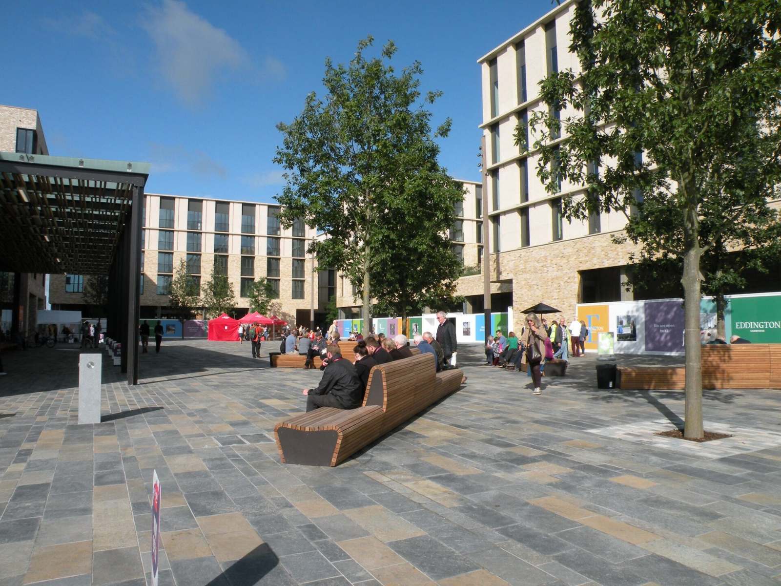
- Eddington is the University of Cambridge’s own new district, on a 150 hectare site between Madingley Road, Huntingdon Road and the M11
- The first phase includes around 700 homes for university key workers and 325 rooms for postgraduate students, with other homes for sale
- Outline approval for up to 3,800 homes at Eddington was welcomed by the university in September 2026, with more key worker housing, student rooms and over 50 hectares of green space planned
- The Market Square has a Sainsbury’s supermarket, which opened in 2017, and local shops
- The University of Cambridge Primary School opened in 2015 in a ring-shaped building, next to the Storey’s Field community centre and nursery
- Homes use a district heating system, and rainwater is collected through swales into Brook Leys lake and recycled for toilets and irrigation
- The Universal bus serves the site, Madingley Road Park and Ride is just to the south and the Ridgeway walking and cycling path runs through it
- New apartment schemes include Rubicon, which won a RIBA East award in May 2026, and Lumo, marketed by Durkan Homes in 2026
Local council: Cambridge City Council or South Cambridgeshire District Council depending on the address, with Cambridgeshire County Council for schools
Council tax: cambridge.gov.uk/council-tax-bands-and-charges or scambs.gov.uk, depending on the address
Schools: cambridgeshire.gov.uk (apply for a school place) and reports.ofsted.gov.uk
Website: eddington-cambridge.co.uk
Eddington is the most deliberately designed place in the county, and it shows. Car use is kept low, the streets are built around walking and cycling, and the architecture has picked up awards. It is mostly apartments and townhouses, with a large share reserved for university staff, so check the tenure of anything you look at. The district is still young and some parts feel like a building site in progress. If you work at the university’s west Cambridge sites, it is hard to beat for a short commute.
Cambourne
Indoor and outdoor
- A planned town about nine miles west of Cambridge, built on farmland from 1998 and declared a town in 2019
- It is made up of Great, Lower, Upper and West Cambourne, and had a population of just over 12,000 at the 2021 census, making it the biggest settlement in South Cambridgeshire
- Housing is almost entirely built since 1998, with West Cambourne the newest part
- Cambourne Village College opened in 2013, four primary schools were built with the town, and a sixth form opened in September 2024
- The High Street has a Morrisons supermarket and a growing number of shops and food outlets, and South Cambridgeshire District Council has its offices on the business park
- An 80 acre country park sits between Lower and Great Cambourne, alongside an educational eco park
- Buses run to Cambridge along the A428, with less frequent services to St Neots, Huntingdon and St Ives
- The Rail Minister approved the Cambourne to Cambridge guided busway in September 2026, running from Sterling Way to Grange Road in west Cambridge; no start or opening dates have been published
- East West Rail has proposed a Cambourne station with a 16 minute journey to Cambridge, but the station has no confirmed opening year and its exact location is still debated
Local council: South Cambridgeshire District Council and Cambourne Town Council, with Cambridgeshire County Council for schools
Council tax: scambs.gov.uk
Schools: cambridgeshire.gov.uk (apply for a school place) and reports.ofsted.gov.uk
Nearest station: None in the town at present
Cambourne is where a lot of Cambridge workers end up when they want more space for their money and are willing to drive or bus in. Everything is new, the schools were built alongside the houses and the country park gives children somewhere to roam. The weak point has always been the commute, as the A428 into Cambridge clogs at peak times. Two big transport projects, the busway and East West Rail, are both coming but neither has a date you can plan a mortgage around. Buy for the town as it is today, not as it might be in ten years.
Northstowe
Indoor and outdoor
- A new town about 10 kilometres north west of Cambridge, planned for up to 10,000 homes in three main phases, with Homes England as master developer for the later phases
- Phase 1, with 1,500 homes, is complete, and Phase 2, with up to 3,500 homes, is being built now
- Housing is new-build throughout, including 406 modular homes in Phase 2a and the Stirling Fields scheme, where 228 homes had been sold and completed by mid June 2026
- Northstowe Secondary College is open and its sixth form, opened in 2024, has seen its first students complete A levels
- The Unity Centre community building opened in May 2026, the Western Park sports pavilion opened in 2024, and a gym opened in January 2026
- The permanent town centre does not yet exist; Homes England is preparing a temporary commercial space opposite the secondary school while the long-term plans go through South Cambridgeshire District Council
- Northstowe sits beside the Guided Busway between Cambridge and St Ives, but part of the northern busway track is closed until mid January 2027 with buses diverted
- Phase 3a and 3b, with up to 5,000 more homes, have outline permission but work on Phase 3b has not started
Local council: South Cambridgeshire District Council, with Cambridgeshire County Council for schools
Council tax: scambs.gov.uk
Schools: cambridgeshire.gov.uk (apply for a school place) and reports.ofsted.gov.uk
Website: northstowe.com
Northstowe is a town still being made, and anyone moving here needs to be comfortable with that. The houses, schools and sports pitches are in place, but the shops and town centre are still a plan, so the weekly shop means a drive. In return you get a new home with modern insulation, schools that were built for the population and a community that is still forming its clubs and groups. Homes England publishes regular construction updates, which are worth reading before you buy so you know what will be built next to you. Expect construction traffic for years to come.
Waterbeach New Town
Indoor and outdoor
- A new town being built on the former Waterbeach Barracks and RAF airfield, about six miles north of Cambridge off the A10
- The first residents moved in during 2022, and the South Cambridgeshire Local Plan sets out space for around 11,000 homes across the wider site
- Urban&Civic has outline permission for 6,500 homes on its part of the site, and permission for a further 4,500 homes was granted in December 2024
- A replacement Waterbeach station is being built on the Cambridge to Ely line, with construction from autumn 2026 and opening planned for summer 2028
- The existing Waterbeach station stays open until the new one is working
- The old village of Waterbeach next door has its own primary school, shops and a Military Heritage Museum on the edge of the former barracks
Local council: South Cambridgeshire District Council, with Cambridgeshire County Council for schools
Council tax: scambs.gov.uk
Schools: cambridgeshire.gov.uk (apply for a school place) and reports.ofsted.gov.uk
Nearest station: Waterbeach (relocated station planned for 2028)
Waterbeach is the other big new town north of the city, and the one with the better rail link once the new station opens. For now, residents use the existing village station, which is a cycle ride from the new estates. The airfield heritage is still visible, and the Fen edge starts just beyond the site, which gives the place a flatter, more open feel than Northstowe. Like any town in its early years, the facilities lag behind the houses. Check which phase a home sits in and what is planned around it.
Sawston and the Shelfords
Indoor and outdoor
- Sawston is a large village on the River Cam about seven miles south of Cambridge, with a population of around 7,300
- Sawston Village College opened in 1930 as the first village college ever built, and was named the Sunday Times state 11 to 16 secondary school of the year in its 2025 guide
- Sawston has never had a station; Whittlesford Parkway is about two miles away and the Citi 7 bus runs to Cambridge city centre
- The village’s history is in paper and leather, and Sawston Hall is a Grade I listed Tudor manor house
- Great Shelford, about four miles south of Cambridge, has its own station on the line between Cambridge and London Liverpool Street, shared with Little Shelford
- Great Shelford has two pubs, a library, a deli, a bakery and a chemist, a weekly country market in the Memorial Hall and a monthly farmers’ market
- Shelford’s housing ranges from 16th century timber-framed farmhouses to houses from its growth as a Victorian academic suburb and 20th century commuter village
- The level crossings by Shelford station have seen extended closures after resignalling, and the parish council has raised this with Network Rail
Local council: South Cambridgeshire District Council and the parish councils, with Cambridgeshire County Council for schools
Council tax: scambs.gov.uk
Schools: cambridgeshire.gov.uk (apply for a school place) and reports.ofsted.gov.uk
Nearest stations: Shelford and Whittlesford Parkway
The villages south of the city are the traditional choice for families who want a Cambridge commute without living in Cambridge. Sawston is big enough to have its own high street and secondary school, while the Shelfords feel more like a commuter suburb with a station at the centre. Both are close to Cambridge’s southern edge and the Biomedical Campus. The trade-off is that demand is high and the housing stock is limited. Read the parish newsletters, which are frank about roadworks, planning applications and level crossing queues.
Huntingdonshire and the Great Ouse
West of Cambridge, the Great Ouse winds between St Neots, Huntingdon and St Ives, and the towns are older, calmer and better connected to London by rail than most people expect. Huntingdonshire District Council runs the area, with the county council for schools and roads.
St Ives
Indoor and outdoor
- A medieval market town on the River Great Ouse, with a population of 16,815 at the 2021 census
- St Ives Bridge was finished in 1426 and has an unusual chapel built on its central pier
- The street market runs on Mondays and Fridays, with a farmers’ market on the first and third Saturdays of each month
- Flood defences built in 2006 and 2007 protect the town and neighbouring Hemingford Grey
- There is no station; the nearest is Huntingdon, and the Guided Busway runs to Cambridge, though part of the northern busway track is closed until mid January 2027 with buses diverted
- St Ivo Academy is the main secondary school, with four primary schools in the town
- The town won Combined Authority funding for a cycle link along The Broadway, a community bandstand and shopfront grants
- Capital&Centric was chosen in July 2025 as the district council’s preferred partner for housing-led regeneration of sites in St Ives, Huntingdon and St Neots
Local council: Huntingdonshire District Council and the town council, with Cambridgeshire County Council for schools
Council tax: huntingdonshire.gov.uk/council-tax/council-tax-bands-and-charges
Schools: cambridgeshire.gov.uk (apply for a school place) and reports.ofsted.gov.uk
Nearest station: Huntingdon
St Ives is the market town people fall for on a sunny Monday morning, when the stalls are out and the quay is busy. The town centre is compact and walkable, and the river meadows towards the Hemingfords give you miles of walking without getting in a car. The busway is the main reason Cambridge commuters choose it, so the current closures matter. Flood risk is real here, so ask about it on any riverside property and check the Environment Agency flood map.
St Neots
Indoor and outdoor
- The largest town in Huntingdonshire, with a population of 33,103 at the 2021 census, taking in Eaton Socon and Eynesbury
- St Neots station is on the main line to London, with Great Northern and Thameslink services
- The A1 runs alongside the town and the A428 bypass links it to Cambridge, Bedford and Milton Keynes
- Love’s Farm, east of the station, had over 1,000 new homes by 2020, and the Wintringham development, planned for around 2,000 homes, is still being built
- Riverside Park is a 72 acre park beside the Great Ouse close to the town centre, with a café, a skate park and a miniature railway
- Market Square improvement works began in late 2023, removing car parking to create an open space for events
- Secondary schools include Ernulf Academy; check catchments for the newer estates, which may differ from the older parts of town
- The Priory Centre, the town council’s events venue, is closed while it is redeveloped
Local council: Huntingdonshire District Council and St Neots Town Council, with Cambridgeshire County Council for schools
Council tax: huntingdonshire.gov.uk/council-tax/council-tax-bands-and-charges
Schools: cambridgeshire.gov.uk (apply for a school place) and reports.ofsted.gov.uk
Nearest station: St Neots
St Neots is the commuter’s town in this part of the county, with London trains and the A1 on the doorstep. The newer estates east of the railway are where most people moving in end up, with modern houses and schools built for the growth. The older centre around the Market Square is quieter, with the riverside park close by. A Cambridge commute by road along the A428 is the weak link. Check the district council’s market towns pages for works in the centre.
Huntingdon and Godmanchester
Indoor and outdoor
- Huntingdon is Huntingdonshire’s former county town, with a population of 25,428 at the 2021 census, and the birthplace of Oliver Cromwell in 1599
- Huntingdon station is on the East Coast Main Line, served by Thameslink and Great Northern trains to London
- The town sits beside the A14 and A1, roughly midway between Cambridge and Peterborough, and the old A14 through the town is now the A1307
- Hinchingbrooke Hospital serves the town, and secondary schools include Hinchingbrooke School and St Peter’s School, with Huntingdonshire Regional College for further education
- Godmanchester sits a mile south across the river, with a population of 7,893, more than 100 listed buildings and many timber-framed Tudor houses
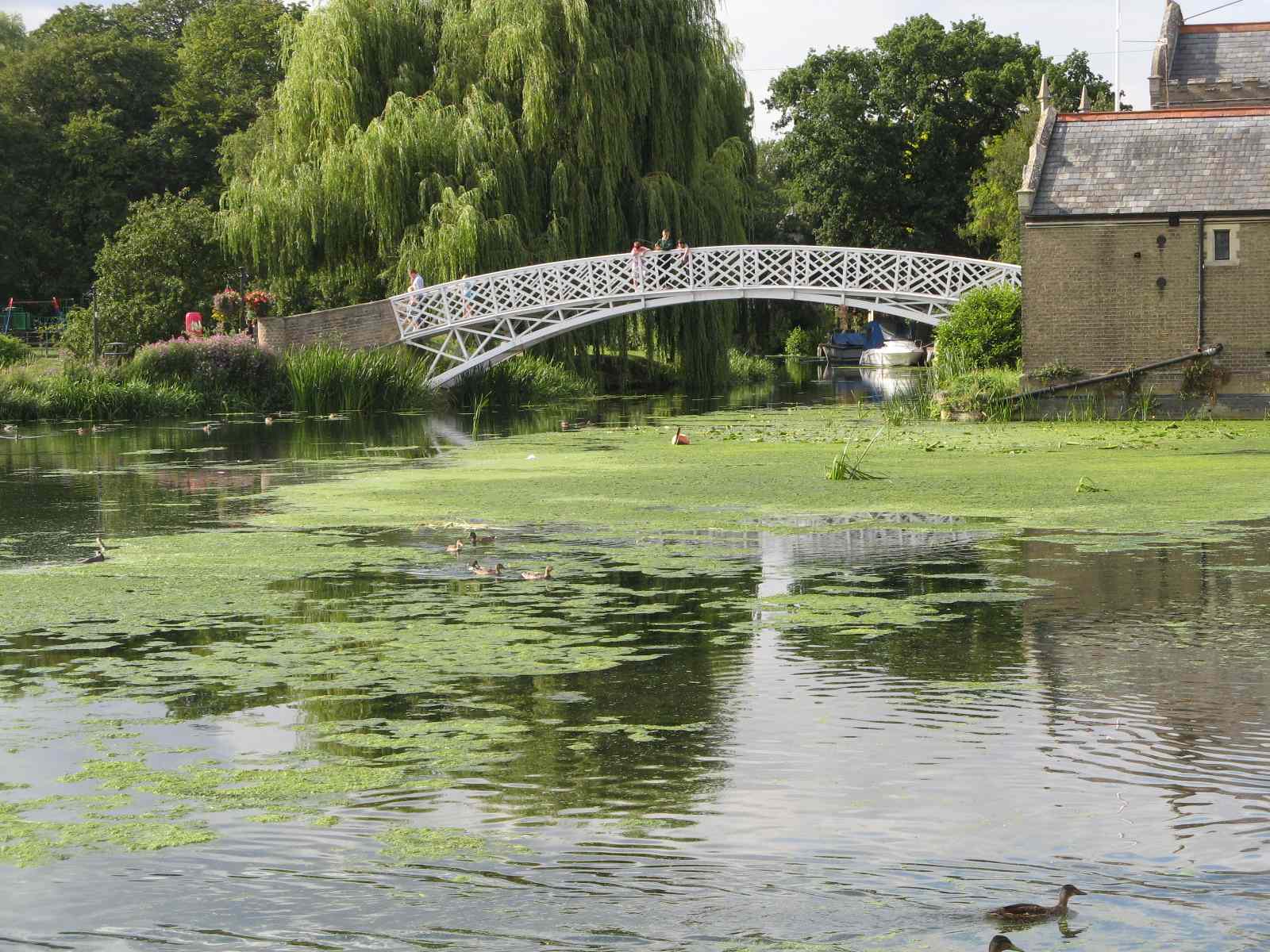
- Godmanchester was the Roman town of Durovigutum, and its Chinese Bridge, rebuilt as a replica in 2010, leads towards Portholme, described as England’s largest meadow
- Godmanchester Town Council opened the new Queens Walk play park in December 2025 and took on the recreation ground in August 2025, with a skatepark and pump track planned
- Huntingdon and St Ives won Combined Authority funding for projects including visitor facilities at the Cromwell Museum and shopfront grants
Local council: Huntingdonshire District Council and the local town councils, with Cambridgeshire County Council for schools
Council tax: huntingdonshire.gov.uk/council-tax/council-tax-bands-and-charges
Schools: cambridgeshire.gov.uk (apply for a school place) and reports.ofsted.gov.uk
Nearest station: Huntingdon
Huntingdon and Godmanchester work as one place to live, joined by bridges and the Portholme meadow path. Huntingdon has the station, the hospital and the business parks, while Godmanchester has the older streets and the river. The rail link to London is the strongest draw, and the road network makes the town a natural base for anyone working across the county. The town centre is the subject of regeneration plans, including new rental homes, so expect change over the next few years.
Ely, the Fens and Peterborough
North and east of Cambridge the land flattens into the Fens, and the towns sit on what were once islands in the marsh. Peterborough is a unitary city with its own council, while Ely and Soham fall under East Cambridgeshire, and Whittlesey, March and Wisbech under Fenland District Council.
Ely
Indoor and outdoor
- A cathedral city on the Isle of Ely, 14 miles north east of Cambridge, with a population of around 20,500 at the 2021 census
- Ely station is a rail hub, with lines to Cambridge and London, King’s Lynn, Peterborough, Norwich and Ipswich
- Greater Anglia runs up to four trains an hour between Ely and Cambridge on weekdays
- Markets run on Thursdays and Saturdays, with a farmers’ market on the second and fourth Saturdays of each month and seasonal Sunday markets
- Bus changes from 2 January 2026 brought an hourly service 9 between Littleport and Ely, continuing to Cambridge every two hours, and a new hourly service 10 to Little Downham
- New housing in North Ely includes Linden Homes’ scheme off Lynn Road, approved with 258 homes, a country park and a new cricket ground
- Schools include Ely College and the independent King’s Ely
- The Ely Area Capacity Enhancement rail scheme, which would allow more trains through the Ely junctions, still needs further government funding
Local council: East Cambridgeshire District Council and the city council, with Cambridgeshire County Council for schools
Council tax: eastcambs.gov.uk
Schools: cambridgeshire.gov.uk (apply for a school place) and reports.ofsted.gov.uk
Nearest station: Ely
Ely gives you a cathedral city with a real market and a riverside for the price of a slightly longer commute. The cathedral, nicknamed the Ship of the Fens, is visible from miles around and sets the tone for the old centre. The station is the city’s biggest asset, with Cambridge a short ride away and direct trains to London. The new estates to the north are where much of the newer housing is.
Soham
Indoor and outdoor
- A fen-edge town between Ely and Newmarket, just off the A142, with a population of 12,336 at the 2021 census
- Soham station reopened on 13 December 2021 after 56 years without passenger trains
- Greater Anglia runs up to one train an hour between Ely and Soham on weekdays, about eight a day, on the Ipswich to Peterborough line via Bury St Edmunds
- The station has a single platform for now; a second would depend on double tracking the line to Ely
- St Andrew’s Church dates from the 12th century, with a 15th century tower
- The town was once bordered by Soham Mere, a lake that was drained and farmed by 1813
- Soham Village College is the town’s secondary school
Local council: East Cambridgeshire District Council and Soham Town Council, with Cambridgeshire County Council for schools
Council tax: eastcambs.gov.uk
Schools: cambridgeshire.gov.uk (apply for a school place) and reports.ofsted.gov.uk
Nearest station: Soham
Soham is a working Fen town rather than a commuter village, with its own secondary school and a church that has stood since the 12th century. The reopened station gives it a rail link to Ely and Bury St Edmunds, but the service is thin, so most residents drive. Newmarket and its racing industry are close by to the south, and Ely is a short drive north. It is one of the places where people moving out of Cambridge find a bigger garden. Look at the bus and train timetables before you rely on them.
Peterborough: Hampton and Orton
Indoor and outdoor
- Peterborough is a unitary city, so Peterborough City Council handles schools, roads and council tax itself rather than the county council
- Hampton, south of the city, has been built since 1996 and is planned for up to 8,500 homes across several neighbourhoods
- Serpentine Green shopping centre, opened in 1999 off the A15, has a Tesco Extra and free parking
- Hampton Nature Reserve is a Site of Special Scientific Interest with one of Europe’s largest populations of great crested newts, managed by Froglife
- Hampton schools include Hampton College, opened in 2005, Hampton Gardens secondary, opened in 2017, and Hampton Lakes Primary, opened in 2020
- The Ortons, south west of the city centre, were laid out as a new town township from the 1970s to the early 1990s around the older villages of Orton Waterville and Orton Longueville
- Orton Wistow borders Ferry Meadows and Nene Park, and the Nene Valley Railway has a station at Orton Mere
- In September 2025 Peterborough City Council announced £20 million of community regeneration for Orton Malborne and Orton Goldhay
- Peterborough station is on the East Coast Main Line with direct trains to London, and Greater Anglia and CrossCountry services link it to Ely and Cambridge
Local council: Peterborough City Council (unitary)
Council tax: peterborough.gov.uk
Schools: peterborough.gov.uk (school admissions) and reports.ofsted.gov.uk
Nearest station: Peterborough
Peterborough’s suburbs give you a city with its own council, its own schools system and fast rail links to London. Hampton is the newer, tidier choice, with lakes, a nature reserve and its own schools and shopping centre. The Ortons are older and more varied, with 1970s and 1980s estates around village cores, and some of the best green space in the city at Ferry Meadows. Parking at Ferry Meadows is charged for every vehicle, which is worth knowing if you plan to use it daily. Peterborough’s school admissions run separately from the rest of the county, with their own deadlines.
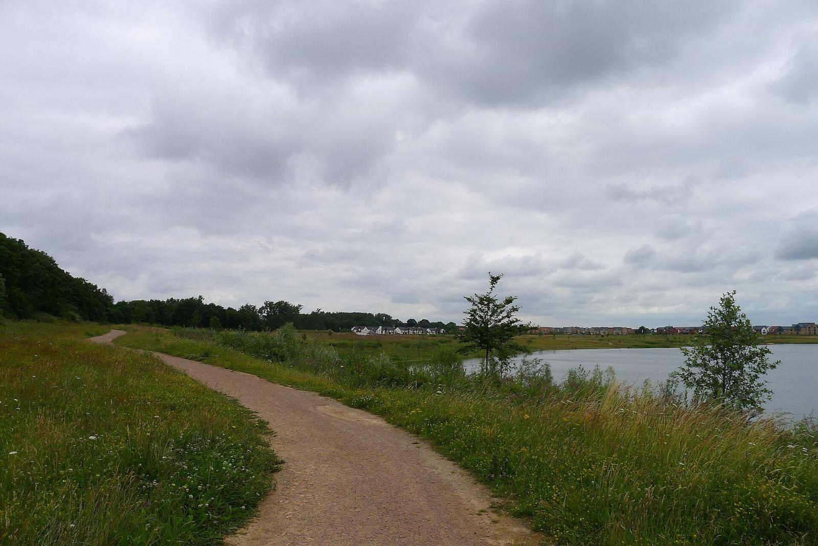
Whittlesey
Indoor and outdoor
- A historic market town about six miles east of Peterborough, with a population of 17,667 in the parish at the 2021 census
- Whittlesea station is on the line between Peterborough and Ely, with Greater Anglia trains to Peterborough, Ely, Cambridge and Ipswich
- The Buttercross in the Market Place dates from 1680
- The Straw Bear Festival, revived in 1980, takes over the town in January each year; check strawbear.org.uk for the 2027 dates
- Brickmaking shaped the town, and one brickworks remains around King’s Dyke
- Nearby Must Farm has Bronze Age remains that archaeologists have called Britain’s Pompeii
- Sir Harry Smith Community College is the secondary school, with three primary schools in the town
- The A605 follows the line of the Roman Fen Causeway towards Peterborough and March, and residents have raised traffic concerns about new housing
Local council: Fenland District Council and Whittlesey Town Council, with Cambridgeshire County Council for schools
Council tax: fenland.gov.uk
Schools: cambridgeshire.gov.uk (apply for a school place) and reports.ofsted.gov.uk
Nearest station: Whittlesea
Whittlesey sits close enough to Peterborough to use it for work and shopping, but it is in Fenland district and Cambridgeshire County Council’s school system, not Peterborough’s. That matters when you apply for schools and when you pay council tax. The town itself is old and compact, with a proper market place and a calendar built around the Straw Bear. The Nene Washes lie to the north and the roads across the Fen can flood in winter. Drive the commute at rush hour before you decide.
March
Indoor and outdoor
- A Fenland market town with a population of 22,970 at the 2021 census, about 32 miles north of Cambridge and 9 miles south of Wisbech
- The old course of the River Nene runs through the town, with a marina offering berths and boat hire
- St Wendreda’s Church has a double hammer beam roof with 120 carved angels
- March grew as a railway town, and the Whitemoor marshalling yards were once among the largest in Europe before closing in 1990
- March station is on the line between Peterborough and Ely
- Broad Street in the town centre was rebuilt with Combined Authority and Future High Streets money, with a mini roundabout, new crossings and the listed fountain moved
- Persimmon has outline permission for up to 1,200 homes west of The Avenue, approved in November 2024, with a primary school and local centre, as part of around 2,000 homes planned west of the town
- Secondary schools in the town include Neale-Wade Academy; check Ofsted reports and the county’s admissions pages
Local council: Fenland District Council and March Town Council, with Cambridgeshire County Council for schools
Council tax: fenland.gov.uk
Schools: cambridgeshire.gov.uk (apply for a school place) and reports.ofsted.gov.uk
Nearest station: March
March is the most central of the Fen towns and the one with a working railway station, which matters out here. It has a calm riverside centre, a rebuilt main street and plenty of new housing on the edges, with more to come. The rail link to Peterborough and Ely makes it workable for commuters to either, although Cambridge is a long drive. If you are looking at the new estates west of the town, check how far each phase has got and when the school is due.
Wisbech
Indoor and outdoor
- A market town and inland port on the tidal River Nene, known as the Capital of the Fens, with a population of around 33,000
- The North Brink, South Brink and The Crescent are lined with Georgian houses, and the National Trust’s Peckover House is on North Brink
- Wisbech has no passenger railway station; the nearest is March
- Plans to reopen the March to Wisbech line have been discussed for years, but there is no funded opening date
- The A47 bypasses the town, and First’s Excel bus links Wisbech with Peterborough and King’s Lynn
- In March 2026 Fenland District Council finished rebuilding 24 High Street, a site left derelict for over 40 years, as a shop with flats above, as part of its High Street project
- Thomas Clarkson Academy is the state secondary, Wisbech Grammar School is an independent school, and the College of West Anglia has a campus in the town
- Wisbech sits right on the Norfolk border, so check which county and council an address falls under before you look at schools
Local council: Fenland District Council and the town council, with Cambridgeshire County Council for schools
Council tax: fenland.gov.uk
Schools: cambridgeshire.gov.uk (apply for a school place) and reports.ofsted.gov.uk
Nearest station: March
Wisbech has some of the best Georgian streets in the Fens, which makes it worth a look for anyone with a flexible commute or a remote job. The Brinks along the river are the showpiece, and the town centre is being slowly repaired after years of neglect. Without a station, you need a car or a lot of patience with buses. The rail reopening has been promised for a long time, so do not buy on the strength of it.
Seasonal Highlights
Spring: National Offer Day for secondary school places is 1 March 2027, and Peterborough posts round two offer letters by 30 April 2027 for anyone who applied after the first deadline.
Summer: The Shelford Festival and Feast in July, Homes England’s summer construction update for Northstowe, and the planned opening of the new Waterbeach station in summer 2028. Summer is when most families move, so book removals early.
Autumn: Secondary school applications for the following September close in the autumn, with Peterborough’s first round running from 11 September to 31 October in 2026, and building work on the new Waterbeach station starting in autumn 2026.
Winter: The Mill Road Winter Fair, traditionally on the first Saturday in December, and the Whittlesea Straw Bear Festival in January. Winter is also when Fen roads and washes flood, so test any rural commute in February.
A Note From Inside Cambridge
We wrote this guide because the most common question we hear from new arrivals is not about restaurants or days out but about where to live. The honest answer is that it depends on where you work, how you travel and which schools you need, and seventeen places is only a start.
If you live in one of these places and think we have missed something, or a transport scheme or school has changed, please get in touch. We would rather update a detail now than send someone to the wrong side of the county.
Before You Go
- Local government in Cambridgeshire and Peterborough is being reorganised: four proposals for new unitary councils went to government, the consultation closed on 26 March 2026, and the decision is currently paused while the government reviews reorganisation nationally; the new councils had been due to start in April 2028, but no new timeline has been confirmed
- May 2027 local elections will go ahead on the existing council boundaries, so your current district or city council will still run services for now
- Council tax bands are assigned by the Valuation Office Agency based on April 1991 values, but each council sets its own charges, so the same band costs different amounts in Cambridge, Fenland or Peterborough; check the council’s own page for your address
- Peterborough is a unitary council with its own school admissions, while the rest of the county uses Cambridgeshire County Council’s system, so check the right council’s deadlines
- Never rely on an estate agent’s description of a school; read the latest Ofsted report at reports.ofsted.gov.uk and check the catchment area with the council
- For house prices, use the HM Land Registry and ONS UK House Price Index for each district, and take advice from a qualified adviser before making financial decisions
- Check the Environment Agency’s flood map for any property near the Great Ouse, the Cam, the Nene or the Fen washes
- The Guided Busway has two closures this winter: part of the northern track until mid January 2027, and the southern section between Clay Farm and Trumpington since October 2026
- New towns change quickly; ask the developer or council what is planned next to any plot before you commit
- Test your commute at peak time on a weekday, by the mode you will actually use